Better Subdivision Design in BricsCAD
 Other News
 Subscribe to newsletter
| 1 Oct 2017 |
Subdivision design software should help, not hurt!
We first evaluated BricsCAD in 2015 (Is BricsCAD a Real Alternative to AutoCAD?) and were intrigued with a product that replicated virtually all of the functionality of AutoCAD™ at a fraction of the cost. Of course price is important – but what we found under the hood was more impressive. A modern, DWG based product that could easily replace traditional CAD software with minimal training and workflow interruption.As a civil engineer, I have been stunned at the complexity of mainstream civil design software. Why does this software require weeks and sometime years of training for users to be fully competent? Must curb returns be modeled individually? Should users put up with software that crashes on a regular basis? Is this software really helping or is it getting in your way – even if it is the standard in your region?
So I went on the hunt for civil design software that works with BricsCAD and is intuitive to use but still has all the advanced features you need. Civil Site Design quickly rose to the top of the list. Why am I excited by Civil Site Design? Because it helps designers do their job with automation of basic functions.
In this blog series we want you to see Civil Site Design for BricsCAD in action, performing a subdivision design. Compare it to your existing civil design software in terms of ease of use, productivity and learning curve.
Let’s look at the first wow factor – building an accurate surface with a superimposed aerial image.
Access to Google elevation data and imagery
Why would I consider direct access to elevation data important to a designer?On many projects, easy access to elevation data is essential for preliminary design or for watershed modeling. The Satellite to Surface feature in Civil Site Design allows designers to access accurate data in minutes.
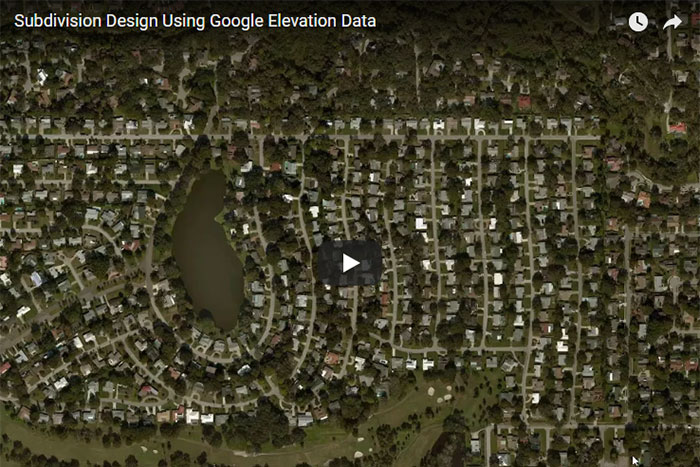
I ran a detailed analysis of the Satellite to Surface feature in a recent blog comparing Google Elevation data to both LIDAR data and field survey data. The video link below demonstrates how easy this process is – a 25 foot grid and 1’ contours were created for a 300 acre subdivision in under 3 minutes. The integrated 3D Model Viewer renders the surface with the aerial image draped over the surface.
View my 3 minute video to see the Satellite to Surface feature in real time. You can learn more about Satellite to Surface here. What is most impressive is that the design surface was created using BricsCAD and Civil Site Design on an $800 HP notebook with 16 GB of memory.
In my next blog post, we will take a detailed look at the automation tools for alignment, road and curb return design.
Written by: Lance Maidlow, President of ChasmTech LLC


