|
|
|


Geographic Information Systems, Key to Efficient Water Management
 Other News
Subscribe to newsletter
Other News
Subscribe to newsletter
| 5 Apr 2023 |

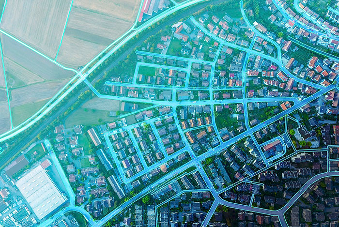
The supply of drinking water is one of the greatest challenges currently facing a large part of the world's regions. According to the latest data published by the UN, water losses in water distribution networks are a major concern, with Non-Revenue Water or non-billed water accounting for the supply of water to almost 200 million people.
Digital transformation plays a major role in solving these issues. Geographic Information Systems (GIS), in particular, have proven to be an excellent resource to tackle this problem, which is exacerbated by climate change and increasing water scarcity.
GIS are an essential information-gathering tool for effective water-cycle management. The use of a geospatial framework, in combination with other tools, leads to infrastructure upgrades, cost savings, quality control, and improvements in water management and water-related assets.
Idrica points to four core GIS functions: storing, displaying, checking and analysing information. As such, GIS systems are built on a combination of five elements: data, technology, analysis processes, procedures and people. As a result, GIS help to preempt patterns, analyse, solve complex problems, uncover relationships between data, monitor changes and comprehend trends.
Functions in water utilities
A GIS system is a repository housing geospatial data of the water supply and sanitation networks of the different towns and cities run by a utility. According to Sergio Aznar, a specialist in the GIS Implementation and Product Department at Idrica, "its efficiency partly depends on a robust connection to the rest of the utility’s systems and the tools used in daily management". Likewise, "they are the core of the geospatial information about a utility’s assets, where the maintenance and analysis of the infrastructure’s georeferenced data and its technical characteristics is carried out”, added the expert.
According to Idrica, some of their main functions include advanced network inventory queries, the generation of thematic maps, the printing of maps using computer-assisted templates, the generation of longitudinal network profiles and the definition of basins discharging water at a specific control point, links to documentation, photographs and sketches, and real-time information queries on mobile devices. In addition, in recent years, some of the most advanced utilities have chosen to connect GIS in real time to their mathematical models (EPANET) and other data sources, resulting in the implementation of digital twins.
Main use cases in water management
Water resource applications deployed in GIS cover the entire water cycle and its processes. These systems facilitate more effective and efficient water resource management in the sector by providing more accurate understanding of the availability and distribution of water resources. In addition, thanks to their geospatial component, they can address and solve specific challenges and problems that would otherwise go unanswered.
Smart water for a better world
As they are the core of the information and know the location of the assets and their characteristics, they can provide knowledge about their environment and what can directly affect them, helping specialists to make the best decisions in any water analysis or management issue, added the expert.
Water supply uses
GIS applications are key applications in leak and alarm management in the water supply sector. Thanks to these information systems, utilities can make decisions to minimize water service interruptions after a leak or planned work in the distribution network. "They provide us with information about which pipes, and service connections are going to be affected by repair work or a leak, thus providing guidance on which elements, such as valves, need to be closed to minimize the consequences. Users can thus be notified if their water is likely to be cut off at home", said Sergio Aznar, a specialist in Idrica's GIS Implementation and Product Department.
In terms of fault detection and prevention, these systems gather vital information to prevent failures in the distribution network, such as the material pipes are made of or the date they were installed. Geospatial analysis of the pipes, i.e., linking data with the geographical element, facilitates inspections. For example, detecting connections that are operational but should no longer be in use.
In the geolocation of field work, GIS systems provide field information through real-time mapping of essential data for route setting and tracking, and detailed documentation related to the work performed at a specific location. Therefore, GIS improves water resource management by providing more detailed, up-to-date information.
Wastewater uses
According to Idrica, the analysis of virus incidence in the population is key to wastewater management. “GIS can compile, analyse, and draw up infected population maps or cadastral maps (documents with information on location, measurements and/or land surface, etc.), to establish areas of greater or lesser infection, population ratios, ages, etc., based on the information available from the wastewater network receiving household discharges, crossed with contagion data”, stated Aznar. Thus, GIS enable us to carry out critical studies to analyse relationships and behavioural patterns that can provide a more effective response to pandemics.
In urban flood prevention, these systems, in combination with remote sensing, can identify possible overflows in sewers, and show which ones have poor drainage capacity, providing municipalities with alerts to prevent flooding after heavy rainfall events.
@IdricaHQ #IdricaHQ #Idrica